

(495) 333-7-444

Software GIS and modeling
GIS and modeling
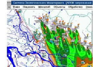
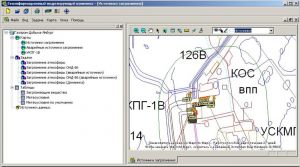
Geoinformational modeling system enables execution of real-time math modeling of environmental conditions, assessment and prognosis of environmental changes.
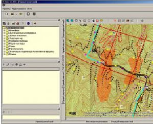
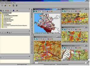
On basis of GIS technologies system provides means for maps composition.
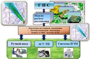

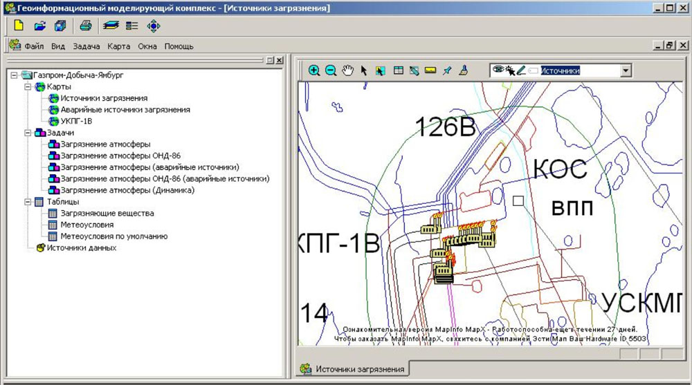
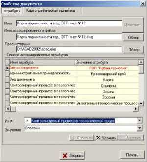
Geoinformational search system – system of software tools for filing data, containing geographical reference.
System basic functions:
- data storage and access to structured sets of documentation of different content and format, connected with integrated objects system on map,
- quick search of maps and relevant documentation.
Application range depends on types of activities and relative documentation to be developed and includes:
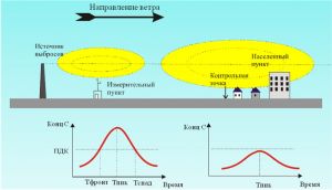
- engineering and environmental engineering survey,
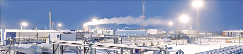
- environmental monitoring and control on different stages of construction and implementation,
- significant industrial facilities’ construction, etc.
All these activities require geographical references for all relative documentation.
System design allows to perform search by tree-structure of headings, topical search, combined search (topical and map search functions combining).
Achievements and awards

“National Environmental Awards”, “EcoEfficiency” category